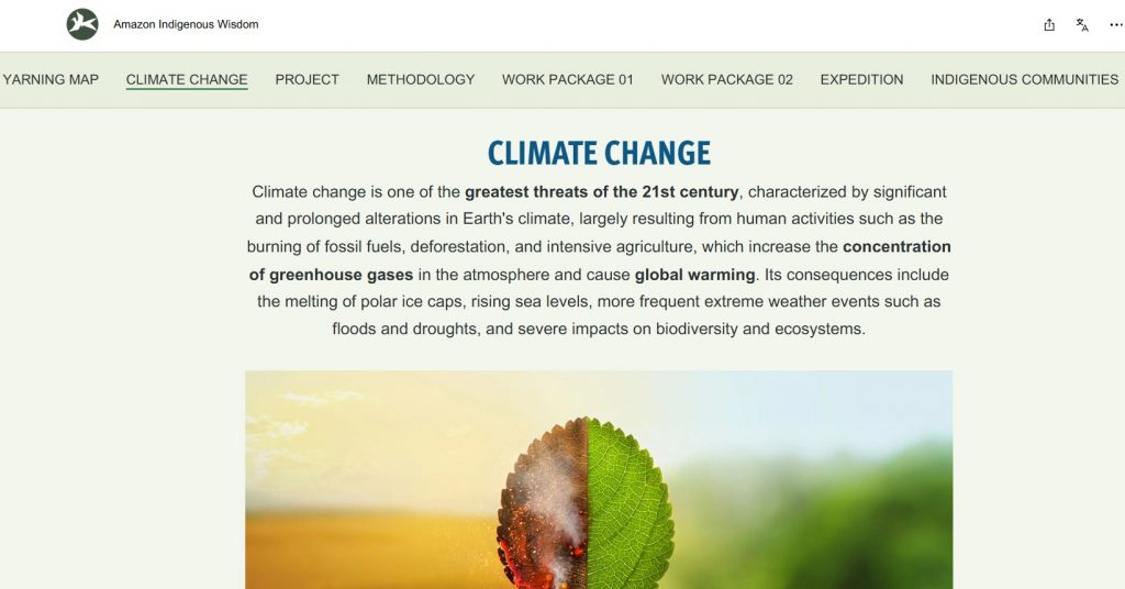
Our project has created an amazing StoryMap that brings to life the voices, landscapes, and struggles of Indigenous communities in the Brazilian Amazon. Far more than a digital map, it is an immersive journey that combines geography, storytelling, and powerful visual materials to reveal how Indigenous peoples are confronting climate change while protecting their territories, forests, and rivers. Through photographs, drone images, videos, and testimonies, the StoryMap allows audiences to experience the richness of Indigenous knowledge and the urgency of their demands for justice. It stands as both a research output and a tool of advocacy, connecting local realities in the Amazon with global debates on climate justice and Indigenous rights.
Here you can access our project mapping and track our progress live in English: GIS Yarning mapping English, and in Portuguese: GIS Yarning mapping Portuguese
Our StoryMap is an innovative tool co-designed to bring our data to life, transforming it into a dynamic resource that supports decision-making across Indigenous community leadership, local communities, stakeholders, and government sectors at local, regional, and national levels. At its heart lies Yarning — a powerful conversational process rooted in Indigenous traditions, where stories are shared, knowledge is developed, and communication flows in ways that are culturally grounded, cooperative, and deeply respectful.
Through GIS Yarning Mapping, we capture and represent the intricate networks of relationships, narratives, and cultural knowledge that shape Indigenous communities. Together with Indigenous leaders, RICOP members, and our research team, we have created a tool that blends GIS mapping with storytelling, images, and multimedia content. This unique approach bridges spatial analysis with Indigenous ontologies and values, offering new pathways to respond to urgent environmental challenges. Supported by ArcGIS software and ArcGIS Online, the initiative demonstrates how technology and ancestral knowledge can work hand in hand to reimagine climate solutions.